
The GEO Project
The Geospatial Education and Outreach (GEO) Project provides geospatial
education, outreach, and tools to increase resilience in coastal communities
within the Gulf of Mexico Region.
Who We Are
The GEO Project, funded by NOAA’s National Ocean Service’s Office for Coastal Management, is a collaborative effort of Mississippi State University Extension Service, Geosystems Research Institute (GRI), and the Northern Gulf Institute (NGI) that focuses on strengthening coastal communities through geospatial education, outreach, and research.We are a diverse team of faculty, researchers, and geospatial specialists working to build GIS capacity in coastal communities to help them identify and mitigate risks associated with climate change, natural disasters, and other coastal-related issues.
What We Do
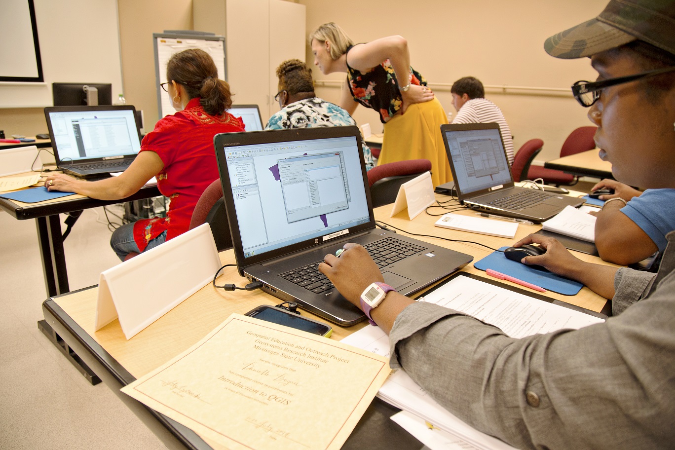
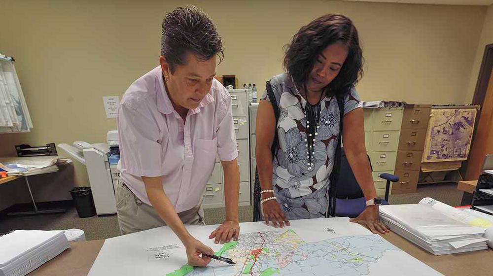
Outreach
We support coastal communities in the use and application of geospatial technologies.
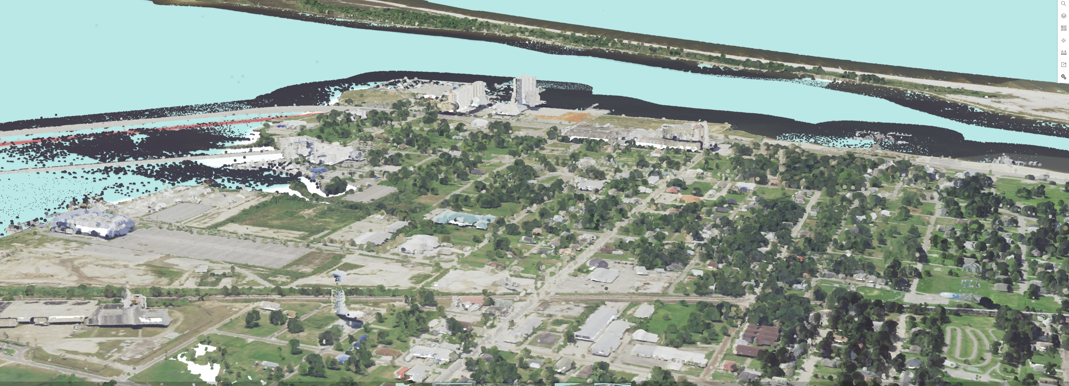
Research
We develop research based geospatial tools and applications to address issues facing coastal regions.
Our Impact
Since it’s inception in 2006, the GEO Project has had a tremendous impact in building geospatial capacity across the Gulf Coast region.
450
Trainings
5,000
Participants

150
Agencies Served
The GEO Project is one of the largest GIS education and outreach projects in the U.S., providing more than 450 GIS training workshops, educating over 4,500 government employees, and assisting 150 agencies in the adoption of GIS technologies.